

Imagery for Impact
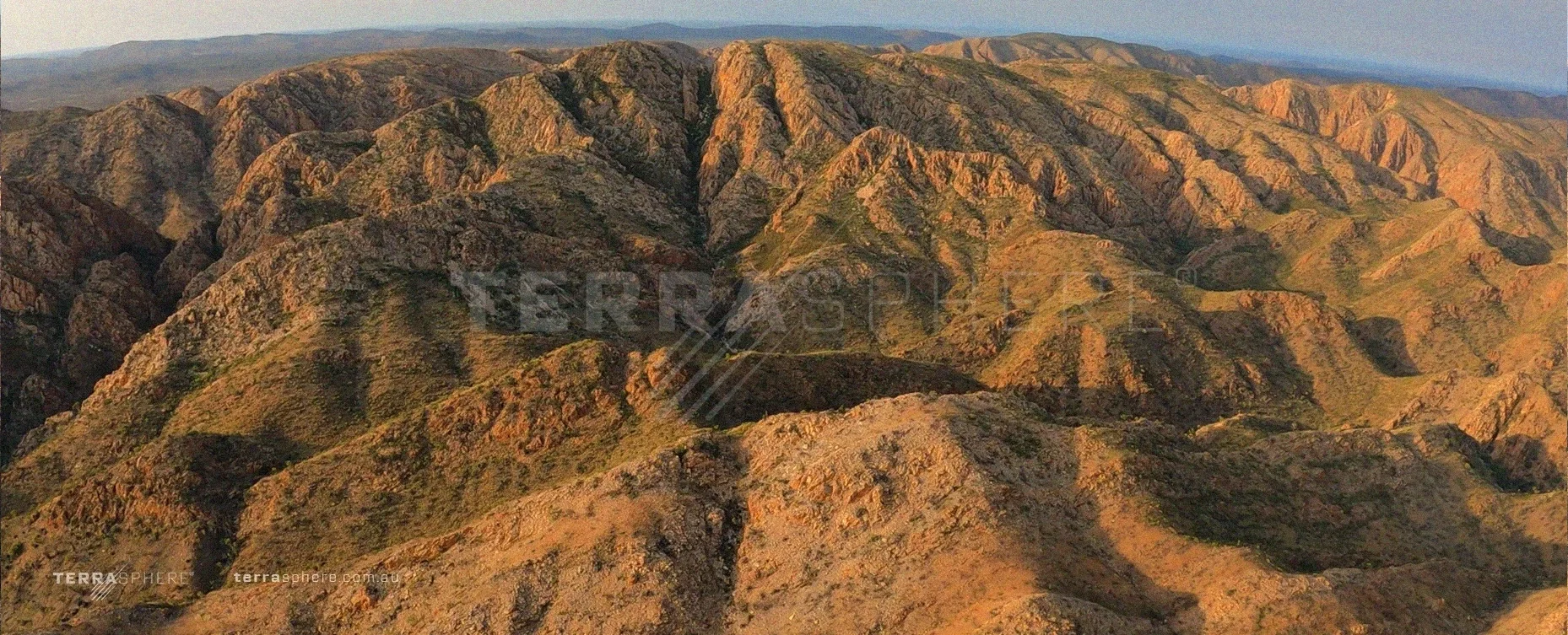
Our StoryTerrasphere was born on the Larapinta Trail, inspired by the unique landscapes of remote Australia and built to capture Epic Imagery from Places few Ever See.
We bring them into view.
AERIAL
-
DRONE
-
360 & FPV
-
ACTION
-
LANDSCAPES
-
CINEMATIC
-
UNDERWATER
-
DOCUMENTARY
-
AERIAL - DRONE - 360 & FPV - ACTION - LANDSCAPES - CINEMATIC - UNDERWATER - DOCUMENTARY -
Cinematic imagery from the edge of Australia.
Terrasphere creates high-end cinematic aerial and terrestrial imagery From some of Australia’s most remote, dramatic and visually powerful landscapes
Get in Touch

Gallery Categories
-
![]()
Heavens
-
![]()
Solar
-
![]()
Terrain
-
![]()
Species
-
![]()
MILSPEC
-
![]()
AI Fusion
-
![]()
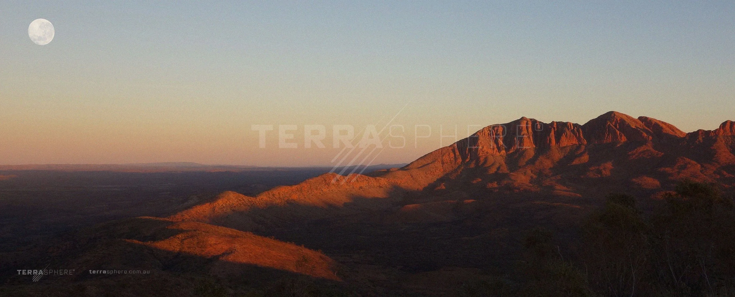
Panoramics
-
![]()
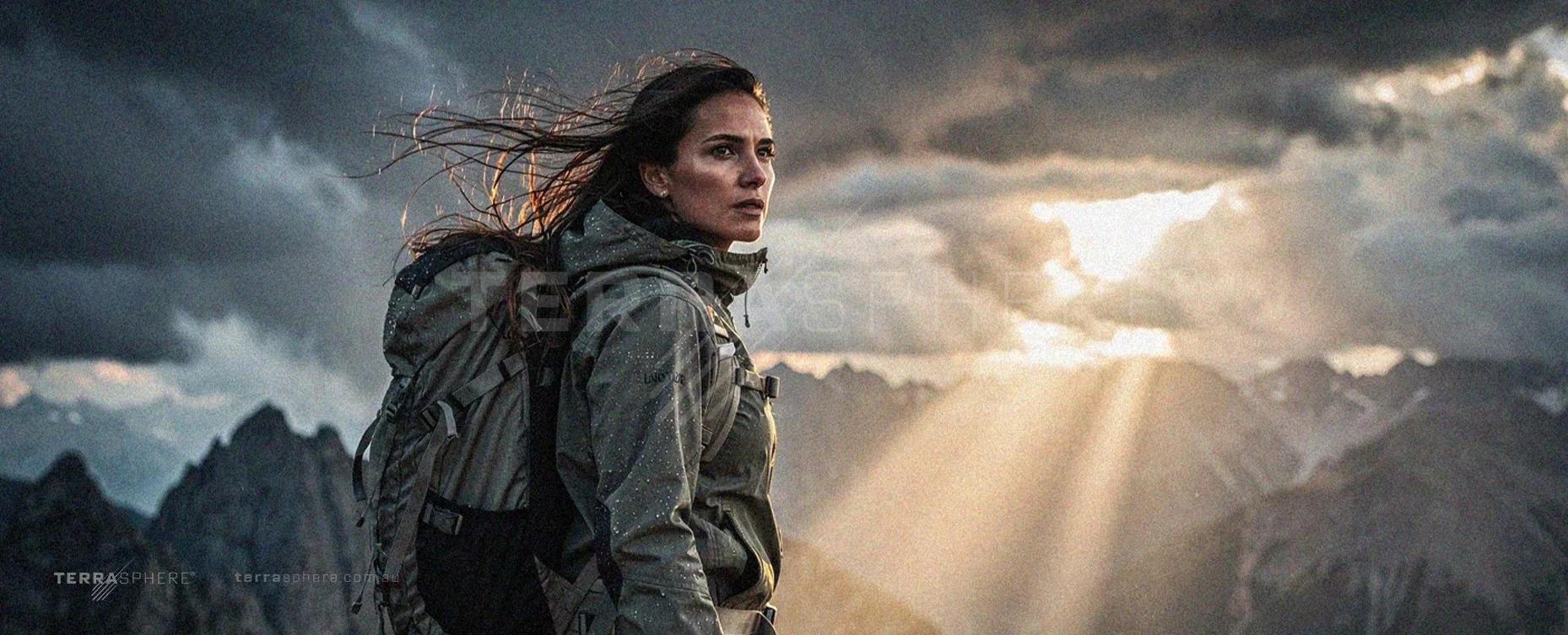
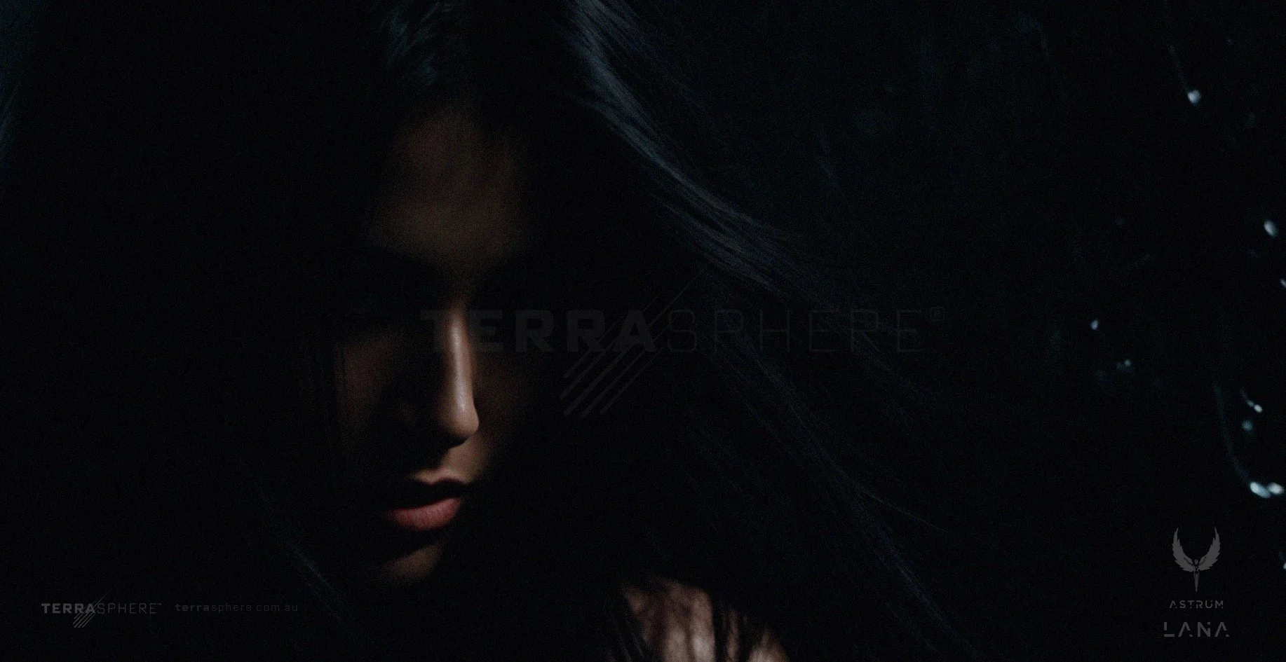
Cinematic Portraits
-
![]()
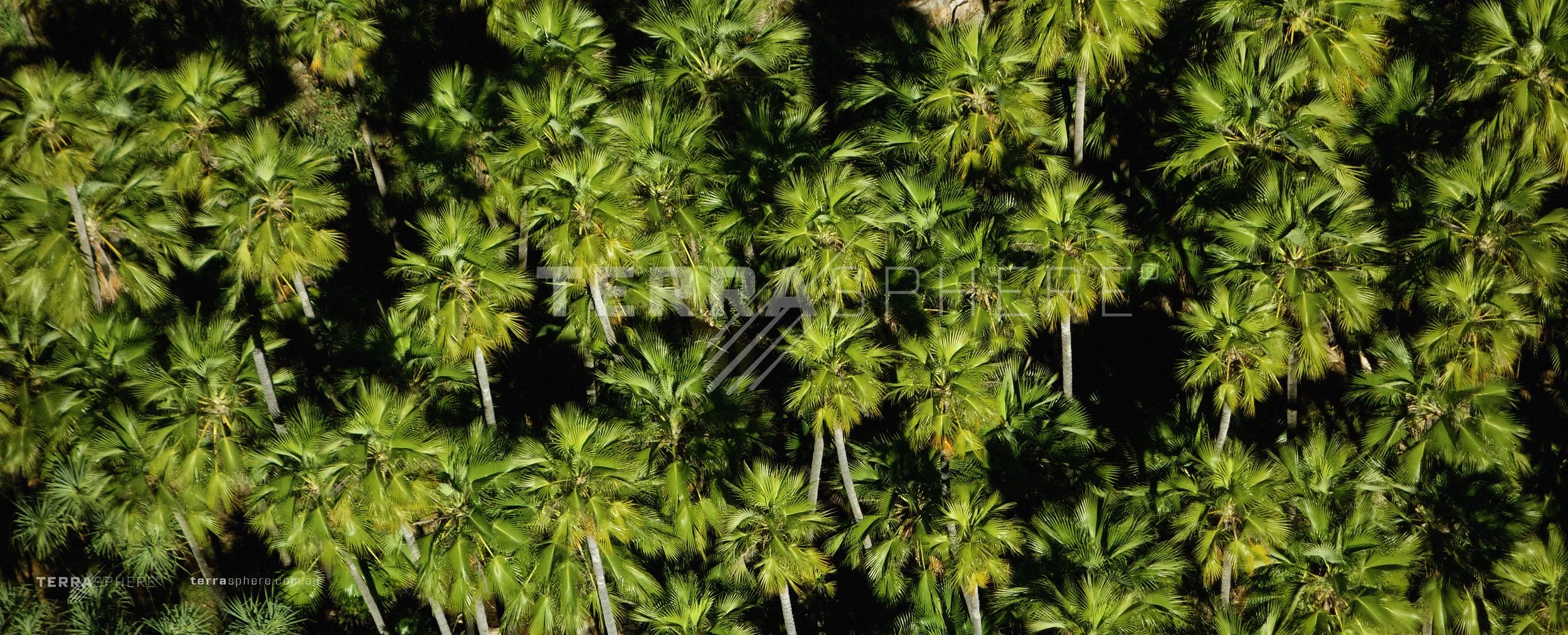
Ground & Vegetation
Lets Fly
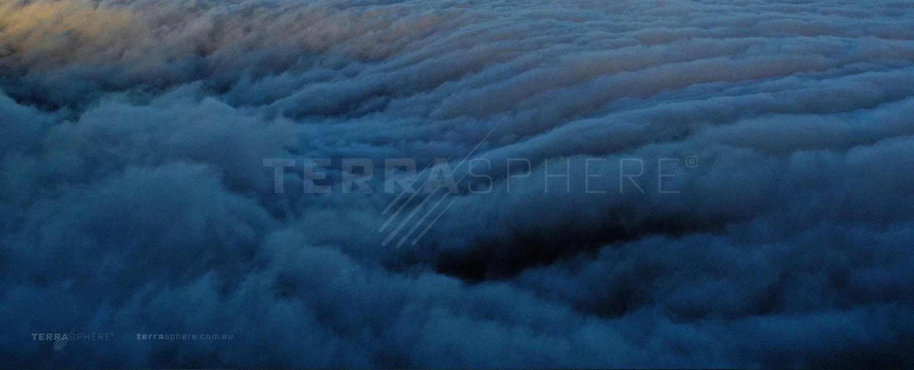
Aerial Footage.
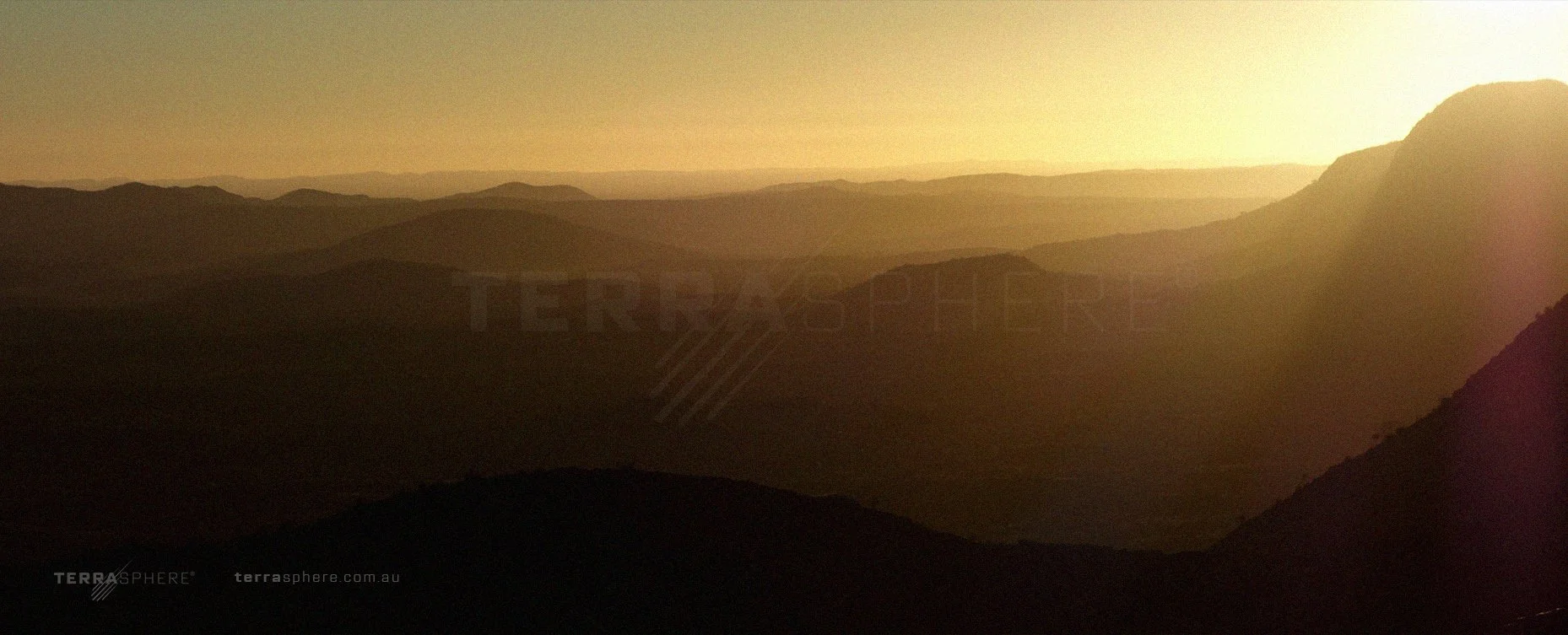
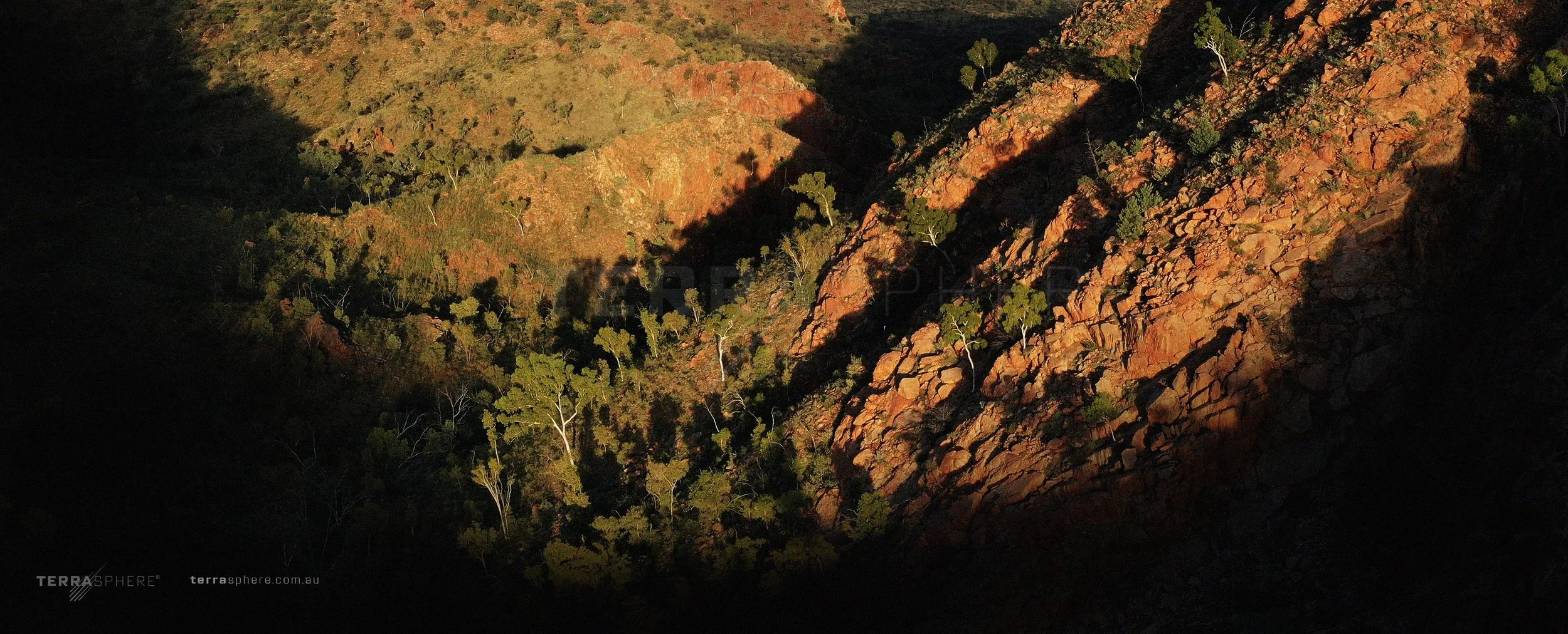
We charter aircraft, helicopters and fly our own UAS systems for footage, but sometimes we just need to pack our drones, hike and climb the mountain and film it from there.
Eastern Chewings, Central Australia, NT